


Extremely windy weather is on the way to Donegal this Friday with the arrival of storm Darragh.
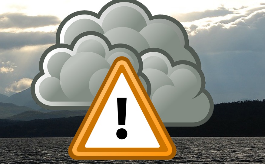
Met Eireann has issued a status orange alert for several counties including Donegal this Friday night into Saturday morning.
The forecasted strong and gusty northwest winds associated with the storm are expected to cause significant disruptions.
Potential impacts include fallen trees, power outages, hazardous driving conditions, structural damage to temporary structures, and coastal flooding due to wave overtopping.
The weather alert is in place from 10pm Friday until 9am Saturday.
A less severe status yellow rain warning is also in place for Donegal and other counties from 10am Friday until 10am Saturday. A national wind warning will last from 3pm Friday until 3pm Saturday.
Friday night will also be very cold, with temperatures dropping to 0C in places.
“Extremely windy or stormy for a time on Friday night with heavy rain, possibly wintry in some northern areas, giving way to clear spells and occasional showers, some of hail or sleet,” said Met Eireann’s Ulster forecast.
“Turning colder with winds becoming fresh to strong and gusty northwest winds later in the night. Lowest temperatures of 0 to 3 degrees with some frost and ice likely.”
“It looks set to be cold and windy on Saturday with sunny spells and blustery showers, some of hail and sleet and with some snow showers likely over higher ground.
“The showers will be most widespread across the north and west, but will make their way across the country too in fresh to strong and gusty northwest winds.
“There’s a chance of some thunder too, mainly near the north and west coast. Highest temperatures of just 4 to 8 degrees and feeling even colder due to the added wind chill factor.”