


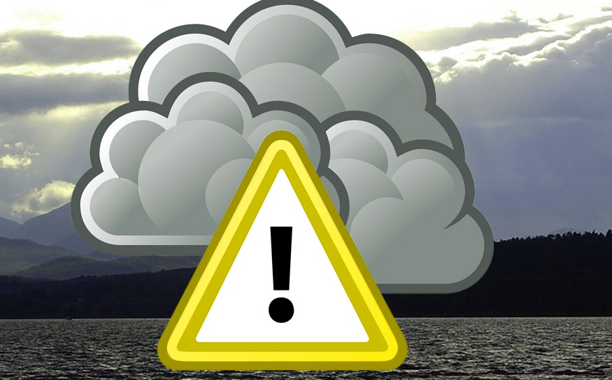
Weather warnings are taking effect across the country today as Storm Barra strikes.
Forecasters are calling the storm a ‘weather bomb’ due to the extreme conditions and the powerful impact it will have. There will be persistent rain throughout the next two days, with likelihood of sleet and hail at times.
While the north west is expected to escape the worst of the event, Head of Forecasting at Met Éireann Evelyn Cusack yesterday said that the storm poses “a danger to life”.
A Status Red wind warning is in place for Cork and Kerry since 6am, while Clare comes under the highest alert level at 4pm. Disruption to power and travel are likely in these areas.
Donegal will be under the national Status Yellow rain warning. The strong winds from Storm Barra are accompanied by heavy rain which will bring challenging conditions across Donegal during the expected storm period from 6am tomorrow Tuesday 7th to late Wednesday night.
Orange marine warning is in place for offshore North West Ireland with possible impacts on more exposed coastal areas including islands.
All Donegal main routes are being gritted this Tuesday morning, with possible snow falls early, giving rise to challenging driving conditions at times.
Donegal County Council’s Severe Weather Assessment Team are keeping the approaching weather pattern under review and will continue to monitor all local conditions as Storm Barra progresses. All Council services remain in a state of readiness as is the norm.
Donegal County Council can be contacted during normal business hours on 074 91 53900 and in the event of an out-of-hours emergency the Council’s Road Service can be contacted on 074 91 72288. For emergencies requiring the assistance of the Fire Service call 999 or 112.
You can keep up to date on conditions by signing up for free alerts to your phone by registering at www.mapalerter.com/donegal or by following Donegal County Council on Facebook or on Twitter @DonegalCouncil.