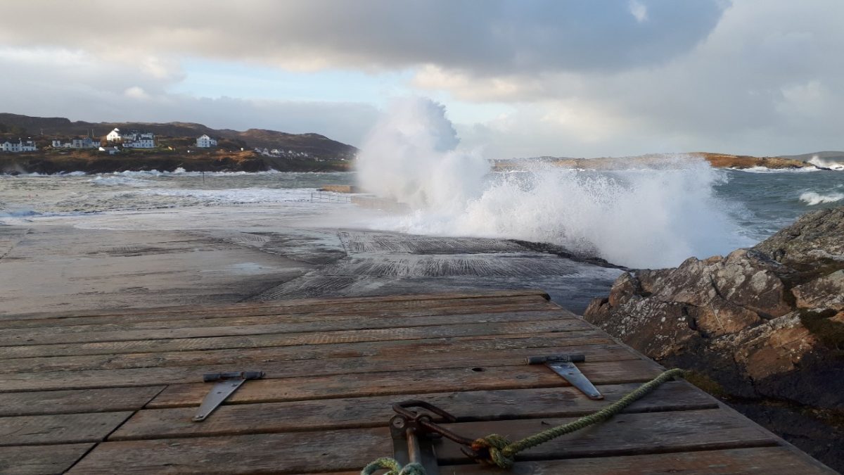
Donegal has been hit with a yellow wind warning for St Stephen’s Day.
Walkers and those out and about after Christmas Day have been warned to wrap up and take care by Met Eireann.
Some parts of the country are set to be hit with strong winds and heavy rain as Storm Bella crashes into the country.
Met Eireann has issued a yellow wind warning for Donegal, Clare, Cork, Kerry and Limerick.
The alert warns: “Through Saturday afternoon, evening and night, westerly winds associated with Storm Bella (named by UK Met Office) will reach mean speeds of 50 to 65km/h with gusts of 90 to 110km/h.
“With the combination of strong winds, high waves and forecasted storm surge, there is a risk of coastal flooding.
“Further updates will be issued as necessary.”
The yellow warning is valid from 12pm on Saturday until 6am on Sunday morning.
Forecaster Liz Walsh said Christmas Day will be bright and dry with temperatures reaching 9C but added that “potentially stormy weather” is expected on December 26.
She said: “Whilst Christmas Day itself promises to be a generally quiet day weather wise with increasing cloud, and patchy rain and drizzle, mainly over northwestern areas, our weather looks set to turn much more unsettled as we head into the festive weekend.
“A briefly milder spell of wet and windy, potentially stormy, weather is expected on Saturday in association with Storm Bella named by the British Met Office earlier today, with much colder weather following for Sunday and into early next week.
“Some very cold air currently emerging from northwest Canada and Greenland, is expected to meet relatively warm air over the western Atlantic, resulting in a powering up of the Polar Front Jet Stream.
“A complex low pressure system, named Storm Bella by the UK Met Office this morning, is tracking eastwards over Greenland today (Christmas Eve).
“The low looks set to engage the developmental zone of this powered up Jet Stream, which will help to deepen it to the north of Iceland on Friday, Christmas Day.
“Storm Bella will be tracking eastwards over parts of Iceland by Saturday afternoon, and is expected to have grown into quite a large feature by then, generating a vast swathe of gales, westerly veering northerly, across the North Atlantic as it interacts with the Azores high to the south.
“Storm Bella is then forecast to track southeastwards towards the North Sea whilst deepening a little more into Saturday night bringing a spell of wet and very windy weather over Ireland for Saturday afternoon/evening/night as an associated squally cold front tracks southeastwards over the country.”
Tags:


