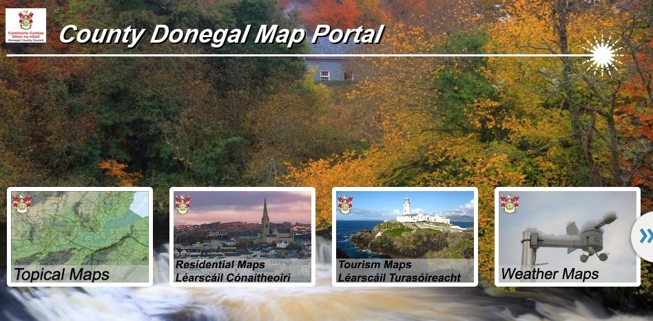
Donegal County Council’s map portal has been awarded the Constituent Engagement Award as part of the Esri Ireland Customer Success Awards 2020.
Nominees for this award were selected for demonstrating excellence in communicating and collaborating with citizens and external communities of interest.
“It supports organizations who use our apps to gather data, perform spatial and statistical analysis, and share insights with their stakeholders,” Rachel from Esri Ireland says. “All of these activities help promote more informed decision-making, two-way sharing of information and enhanced community engagement on important local and national initiatives.”
Other nominees for the Constituent Engagement Award included the Department of Agriculture, Environment and Rural Affairs, and the Marine Institute.
“The standout success in this category demonstrates the use of ArcGIS online to engage with the wider community with many great examples available on a public map gallery on topics ranging from tourism to extreme weather conditions. This award specifically recognises the innovative use of operations dashboards to promote and highlight the many events that occurred during Heritage Week in 2019,” she adds.
Tweeting about the win, Donegal Maps said: “We were honoured to be nominated for this Constituent Engagement award at the start of this year. We’re even more honoured and humbled to win it. Thanks Esri Ireland.”
Donegal County Council’s map portal includes a wide range of maps that display detailed weather alerts, sites of cultural interest, and tourism hotspots.
Other maps available include a Covid-19 map which breaks down the number of cases per local electoral area.
To celebrate Halloween, they even released a special map highlighting the spooky placenames around ‘Dún na Ghoul’!
Follow @DonegalMaps on Twitter to stay up to date.
Tags:


