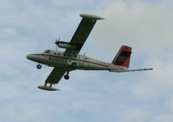
Residents in Donegal were alerted to a low-flying aircraft today across the county – but there is a simple explanation!
The white twin-propeller plane with a red tail, black stripe and learning the registration number C-GSGF, is operated by Sander Geophysics Ltd and is being used as part of the next phase of Tellus, a geological mapping project.
The Tellus project is being used to collect geophysical and geochemical data on rocks, soil and water across Ireland.
The aircraft is based at Sligo airport and has already covered extensive areas of the west of Ireland.
It is expected to be above the skies of Donegal at regular intervals into the autumn months.
Survey activity will assist in understanding the local environment, soil management and natural resource potential.
The aircraft surveys rural areas at a height of around 60 metres – roughly eight times the height of a two-storey house.
The Tellus team, led by the Geological Survey of Ireland and funded by the Department of Communications, Energy and Natural Resources, expect to have surveyed 50% of the country by late 2017.
Livestock owners have been advised that the aircraft may startle their stock.
A spokesperson said: “Tellus operates an extensive communications programme to inform the public of survey operations. We are in close contact with the local community in the area to make sure that people and animals on the ground are not disturbed by survey operations. We would like anyone who has concerns about the low-flying aircraft in relation to sensitive animals to get in touch through our information line on freephone 1800 303 516”.


